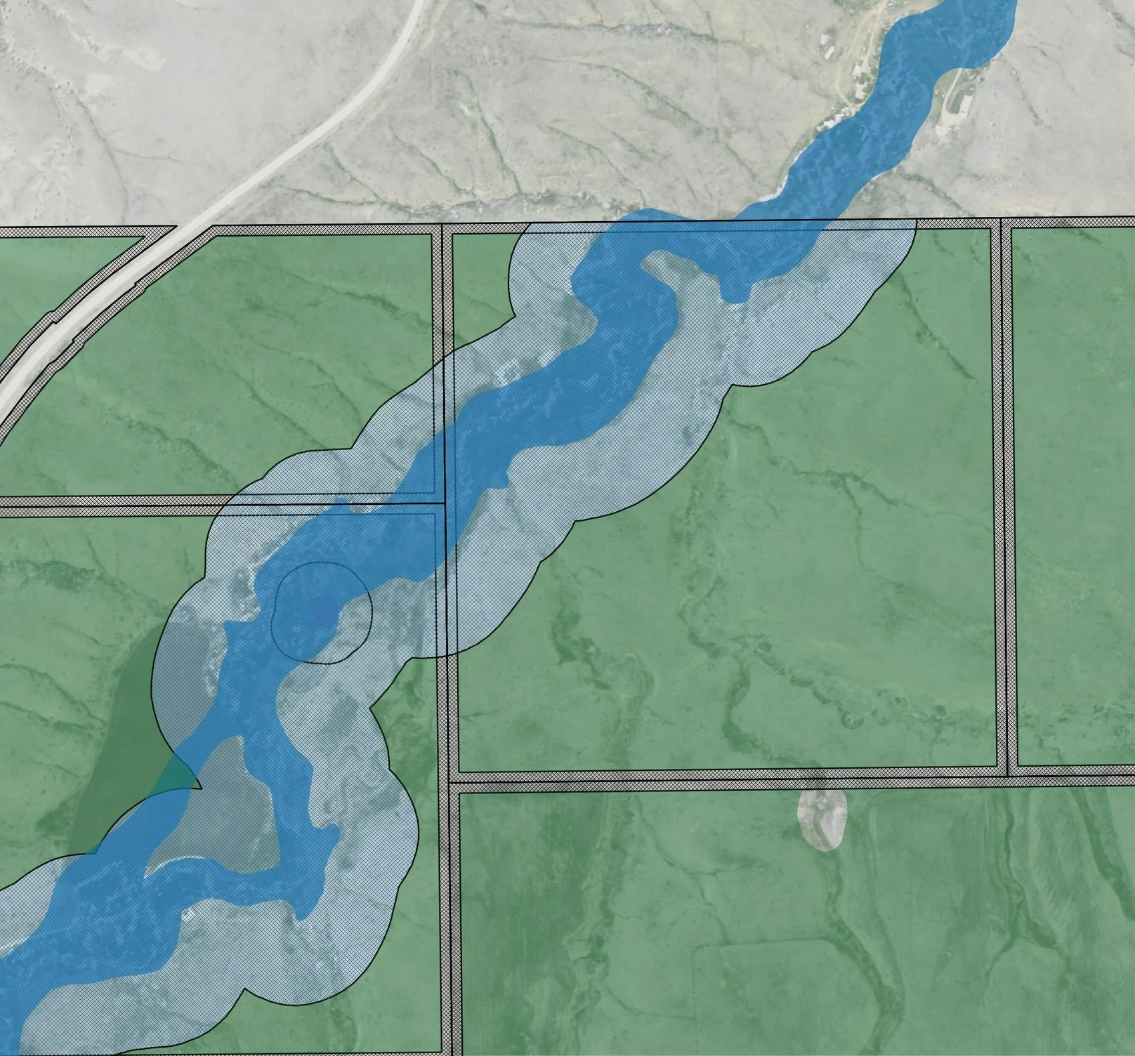
GPA is wrapping up an exciting month-long project to build Hexagon Energy a custom QGIS plugin to assist project managers in identifying appropriate locations for solar panel placement at the parcel level. When incorporated into their existing development workflows, this plugin will identify the area within individual parcels for solar panel placement taking into consideration setbacks from property lines, floodplains, and wetlands. Project managers can take this information into the field, sit across the table from landowners and be more prepared to discuss contract details; reducing the development timeline and installing solar panels more efficiently and quickly.
The custom plugin is built on QGIS open source python scripting libraries and can be downloaded directly into a QGIS project. After project staff have run through the initial site selection process at a county (or regional) level to identify priority parcels for further investigation, marketing and outreach, staff load the primary datasets for analysis. The plugin allows users to define setback requirements based on specific county development codes or ordinances making the plugin functional across all geographic regions.
The plugin returns a vector shapefile of buildable area by parcel. The buildable area vector file retains the original parcel information allowing for easy owner look-up and calculating total acreage of buildable area. This tool replaces the need for project managers to manually outline and estimate buildable area using Google Earth or other web service data layers. Future versions of the plugin will incorporate slope and aspect to further refine the total buildable area.


